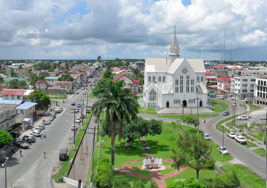
When the British took over the South American colony of Demerara-Essequibo from the Dutch in 1781, they chose to establish a small town that would become the capital city of Guyana in 1843.
Originally named Stabroek under the Dutch, the British renamed the town Fort St. George after the George II of Britain and Ireland. It became the administration centre housing the government of Demerara.
In 1782, French troops docked at the Demerara River, forcing the British to surrender the colonies. They went on to build a town right at the mouth of the river, using slaves to dig two parallel canals and a dam between them. Houses were built on both sides of the embankment, and the town was called Longchamps, and later La Novelle Ville (New Town).
The French also built La Reine and La Dauphin Forts on each side of the river.
In 1783, when the war ended, the colony was returned to the Dutch, who dug more canals and sluices for drainage and laid out streets in a rectangular pattern. As of 1789, the town was home to 780 residents.
The town then exchanged hands between the British and the Dutch again until the war ended in 1814 when it remained in Britain’s possession. In 1812, it was renamed Georgetown.
With such a rich background, the town of Georgetown was elevated to a city in August 1843, and is the country’s biggest urban centre. It not only the economic capital of Guyana but also a vital city for the Caribbean Community and the seat of the University of Guyana.
The residents of the city are celebrating the day with a number of events.
To commemorate the day, here are some photos of Georgetown

Photo: Wiki CC

Photo: Wiki CC

Photo: Wiki CC

Photo: Dan Sloan/Flickr

Guyana’s capital Georgetown is laid out in a grid pattern.. Founded by the Dutch in the 18th century, the city is notable for its wide avenues, drainage canals, and British colonial buildings. Photo: David Stanley/Flickr

Photo: Wiki CC

Photo: Wiki CC


